Identifying nitrogen and phosphorus sources
Satellite technology has been used successfully to help detect leaks, but now it is being applied in the US to help detect sources of water pollution.
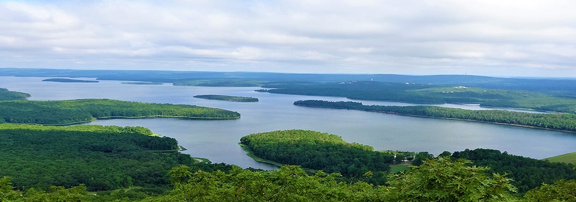
Arkansas-based US water utility, Central Arkansas Water, needed to identify and monitor sources of contaminants entering one of its primary drinking water sources, Lake Maumelle.
Providing 65 per cent of its drinking water to the Arkansas state capital city of Little Rock and the surrounding area, the man-made reservoir had experienced increased levels of sediment, including nitrogen and phosphorous. The reservoir’s watershed comprises a variety of different land uses, both agricultural and forestry-related.
Turning to satellites + big data
Partnering with data analytics company, Rezatec, a watershed management tool was used that combines satellite data, hydrological analysis. and machine learning. Land use was then mapped to create “soil erosion risk models” to deliver a watershed risk analysis.
The aim was to create a retrospective analysis and combine it with traditional monitoring methods. This would help identify source locations where pollutants, derived from herbicides, pesticides, fertilisers and metals, are at risk of flowing into the reservoir.
Resulting data was then used by Central Arkansas Water to engage local stakeholders and key landowners. The utility can then target a reduction in diffuse pollution levels in the catchment areas and manage the impact to water quality caused by farming practices and soil erosion associated with forestry operations.
Adopting a watershed-based approach
Central Arkansas Water believes that such a 'watershed-based approach' will have two major benefits: prevention of pollution entering into raw water sources and protecting drinking water and ultimately, reducing water treatment costs.
“It is increasingly important for water utility companies to explore new and innovative methods of watershed management to address the challenges of budgetary restraint, stricter regulatory compliance requirements, and increased environmental pressures,” said Randy Easley, water resources scientist, Central Arkansas Water.
Aquatech recently reported how another company using satellite technology – Utilis – was planning on adapting its satellite solution from detecting potable water leaks to sewer pipe breaks and leaks.
How does the process work?
Rezatec’s Geospatial Artificial Intelligence (AI) solution is based on contemporary earth observation data and hydrological modelling.
Using an analysis of satellite-derived earth observation data, it can predict land-use change and environmental risk, providing insight into how land use impacts water quality, according to the company.
Machine learning enables statistical processing of the satellite imagery and data inputs, which can result in “reduce operating costs and optimised asset management across their networks”.
The solution is also being applied for assessing pipeline failure risk in water distribution networks and monitoring dams for signs of potential weakness.
“Water utilities are looking for more comprehensive and cost-effective ways to map and monitor land use/land cover to predict change across landscapes within watersheds, in order to better understand the relationship between land use and water quality,” said Philip Briscoe, chief operating officer.
“Satellite data can provide innovative and efficient solutions which are being adopted by an increasing number of organisations around the world.”


